Guides · The Navigator’s Mindset
The Navigator’s Mindset
Three questions that have gotten people home for as long as people have walked into wild places. The mindset behind Topo Maps+.
In March of 2007, I got lost in the deep woods of North Idaho. Not “turned around for an hour” lost — actually lost, at night, miles from where I thought I was. It was cold — there was still an inch of snow on the ground in most places — the moon was thin, and the longer I stood there the worse the spiral got.
What got me out wasn’t gear. It was a question.
I’d been taught not long before, by people who’d spent more time in the woods than I had, that when things go sideways in the backcountry you stop, take a breath, and answer three questions in order. They were old before the iPhone existed. They were old before topo quadrangles existed. They’re the mindset every good navigator falls back on, with or without a screen in their hand.
The three questions
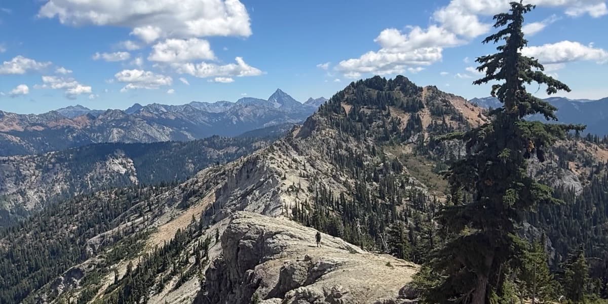
1. Where am I? Not “what trail am I on” — where am I. You answer this with what you can see and what you can measure against. The ridge that line of dark trees comes down off of, the drainage to your right, the bearing the sun’s been setting on. If you’ve got a topo map, you read terrain features off the map and match them to the terrain in front of you. If you’ve got a compass, you take a back-bearing on something you recognize. If you’ve got Topo Maps+ downloaded for the area, you check your position on the map.
You don’t have to know exactly. You have to know roughly — and certainly enough to make the next decision.
2. What do I know? This is the question that pulls you out of the spiral. What do I know to be true? That night, I knew I’d walked roughly east to get where I was standing. Which meant I knew something I could actually use: if I turned and walked due west — and I did have a compass — I’d cross one of three things. A trail. A forest road. Or a river. Daniel Boone famously said he’d never been lost — though he’d “been bewildered for three days once.” That’s the move: collect what you actually know, ignore what you’re guessing, and work from the real facts. The fear shrinks once the facts are written down. If you want to see a map and compass used together the way they should be, wilderness guide Matt Kessler walks through exactly that in the map-and-compass video of his series.
3. What’s the most likely safe direction? Not the fastest. Not the shortest. The most likely safe one. That night in Idaho, west was the answer — because whichever of those three things I crossed, the next move was the same: turn south and follow it, and it would bring me back to the car. It wasn’t the shortest line to the truck. It was the one that couldn’t fail.
Years later the same instinct paid off in a different way. Some friends and I were backpacking in the Glacier Peak Wilderness, deep in a good conversation, and none of us noticed we’d missed a turn. By the time we worked out we’d gone the wrong way, we were four or five hundred feet below where the trail actually was — and one of my friends was starting to bonk, running out of gas. We looked at the map and the tempting line jumped right out: cut cross-country and rejoin the route up ahead. Instead we made the boring, safe call and climbed back up to the trail. (I went up first, found it, dropped my pack, scrambled back down, and carried my friend’s pack up for him.) Cutting across might have saved us twenty minutes. It also might have left an exhausted hiker stuck in deep brush with the light going. The most likely safe direction was up.
The point is that you commit to a direction with a reason, and you re-check it the same way every time you stop.

Why the mindset comes before the tools
Daniel Boone had a flintlock and a compass. The first generation of backcountry hikers in the US had paper topo quadrangles and a Silva baseplate. Today you’ve got Topo Maps+ on a phone that runs offline for as long as the battery lasts. The tools are vastly better. The mindset is the same.
I built Topo Maps+ around these three questions. That’s why the map is on your device instead of in the cloud — so the answer to where am I doesn’t depend on a tower. It’s why activity styles surface the features you’d actually navigate by — what do I know. It’s why the app prints a paper backup with a coordinate grid and declination — because the most likely safe direction sometimes has to be answered when the phone’s dead.
The tools change. The mindset doesn’t. Get good at the three questions, and the gear becomes what it should be: a way to answer them faster.
That March night in North Idaho is also where the app started. Read the story behind Topo Maps+ →

Try it
Get the map. Practice the mindset.
Try the live map in your browser, or start a free trial and take the whole library offline before your next trip.